


A Complete Guide to Using Public Transport in Major Cities
Getting around a new city can feel overwhelming — especially when you're staring at a transit map that looks like a plate of multicolored spaghetti. But public transport, once you understand how it works, is almost always the fastest, cheapest, and most rewarding way to experience urban life. This guide covers everything from buying your first ticket to catching an airport express train, with advice that applies whether you're in Tokyo, Berlin, New York, or São Paulo.
Why Public Transport Is the Smartest Way to Explore a City
Public transport consistently beats private options on cost, speed, and environmental impact in dense urban environments. A single metro ride in most major cities costs a fraction of a taxi fare, and during peak hours, underground trains move significantly faster than any car stuck in surface traffic.
Beyond the financial case, there's a practical one: cities like London, Paris, and Tokyo have built their entire urban fabric around transit networks. Parking is scarce, driving rules are complex, and navigation in a foreign city adds stress you simply don't need. Hopping on a bus or metro puts you in the flow of the city, not fighting against it.
Sustainability matters too. Urban mobility researchers consistently show that shifting from private cars to public transit can reduce per-passenger carbon emissions by 45–70%, depending on the network's energy source. Many cities — Stockholm, Singapore, Seoul — have invested heavily in electrified rail and hybrid bus fleets, making the choice even cleaner.
The bottom line: for most travelers and daily commuters alike, public transit is not a fallback option. It's the primary tool for smart city navigation.
Understanding the Main Types of Urban Public Transport
Most major cities combine several transit modes into a single integrated network, and knowing what each one does helps you choose the right option for any journey.
- Metro and subway systems are the backbone of urban transport in cities like New York, Paris, and Shanghai. They run on fixed underground (or elevated) routes, avoid street traffic entirely, and typically offer the most predictable journey times.
- Bus networks cover areas that rail can't reach. They're slower and more susceptible to congestion, but often provide the most granular coverage — stopping within a short walk of almost any address.
- Tram and light rail systems sit between buses and metros. Cities like Amsterdam, Melbourne, and Lisbon rely heavily on trams for surface-level travel. They're frequent, easy to board, and often run through the most scenic parts of a city.
- Commuter and regional rail connects city centers to suburbs and satellite towns. In cities like London (Overground, Elizabeth line) or Berlin (S-Bahn), these lines are essential for reaching neighborhoods beyond the metro's reach.
- Ferries and water buses operate in port cities like Sydney, Istanbul, and Hong Kong. They're slower than rail but offer unmatched views — and in some cases, like the Star Ferry in Hong Kong, they're the most direct route between two points.
Most cities publish official transit maps that show all these layers together. Getting familiar with the map before you travel saves a surprising amount of confusion on the ground.
How Ticketing and Payment Systems Work
Ticketing systems vary by city, but most fall into a handful of recognizable categories that are easy to learn once you know what to look for.
Single tickets are the simplest option — you buy one fare for one journey. They work everywhere but are almost always the most expensive per-trip. If you're making more than two or three journeys in a day, look for a better option.
Day passes and multi-day passes offer unlimited travel within a set period. They're ideal for tourists doing heavy sightseeing. Cities like Vienna, Prague, and Barcelona offer 24-, 48-, and 72-hour passes that cover all transit modes within the city zone.
City-specific transit cards — the Oyster card in London, the Navigo in Paris, the Octopus card in Hong Kong — store credit that's deducted per journey. These cards almost always offer the lowest per-trip fare and eliminate the need to buy a ticket every time you travel. Most can be topped up at station machines, convenience stores, or via a smartphone app.
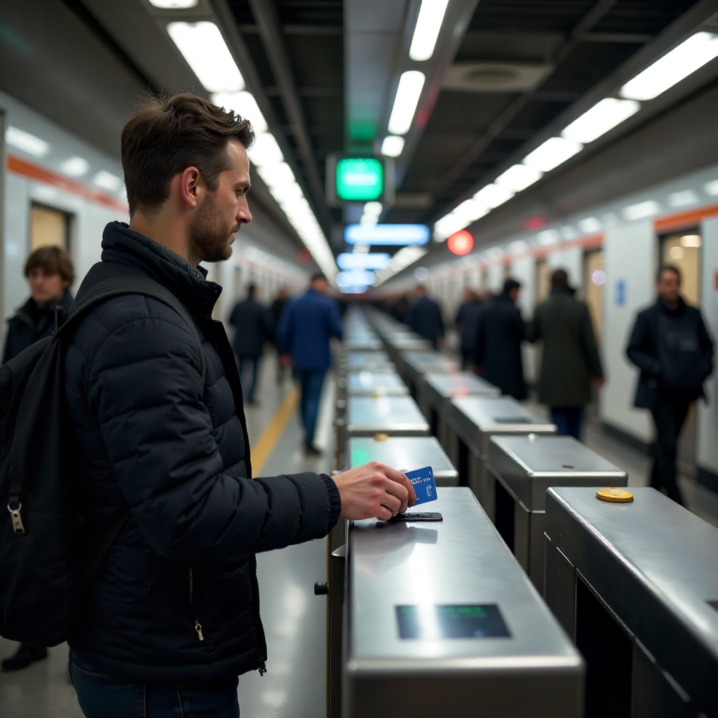
Contactless payment has made things even simpler. In London, New York, Sydney, and a growing number of cities, you can tap a Visa or Mastercard — or your phone — directly on the reader. No card needed. The system calculates the best daily fare cap automatically, so you're never overcharged for heavy use.
App-based ticketing is expanding fast. Cities like Berlin (BVG app), Madrid (CRTM), and Singapore (SimplyGo) allow you to buy and store tickets entirely on your phone. Useful for travelers who don't want to carry a physical card.
Navigating Fare Zones and Peak Hours
Fare zones and peak pricing are two of the most common sources of unexpected costs for transit newcomers — but both are easy to manage once you understand the logic.
Fare zones divide a city and its surrounding areas into concentric rings. The further you travel from the city center, the more zones you cross, and the higher the fare. London's zone system runs from Zone 1 (central) to Zone 9 (outer suburbs). Paris uses a similar model. The key rule: always check which zones your journey covers before buying a ticket or pass, particularly if you're traveling to an airport or outer suburb.
Peak hours — typically 7–9am and 5–7pm on weekdays — trigger higher fares on many networks. In London, a Zone 1–2 journey costs roughly 30% more during peak times than off-peak. If your schedule is flexible, shifting a journey by 30 minutes can save meaningful money over a week of travel.
A practical tip: most transit authority websites publish fare calculators. Spend five minutes before a trip checking the cost of your planned routes. It's one of those small steps that consistently pays off.
Essential Apps and Tools for Journey Planning
The right app turns a confusing transit network into a step-by-step guide. Google Maps is the most universally reliable option — it integrates real-time transit data for hundreds of cities, shows walking connections between stops, and provides estimated journey times that account for current delays. For most travelers, it's the only tool they need.
That said, local apps often go deeper. Citymapper (available in 50+ cities including London, New York, Paris, and Tokyo) shows every available route option with live disruption alerts, platform numbers, and even the best carriage to board for the fastest exit. Transit app serves a similar function across North American cities.
For travel in cities where data connectivity is unreliable, offline maps are worth downloading before you leave. Both Google Maps and Maps.me allow offline transit searches for many major cities. The MAPS.ME app covers transit networks in cities across Asia, Eastern Europe, and Latin America where English-language data can be sparse.
One underused resource: the official transit authority app for your destination city. These often include real-time service updates, route-specific timetables, and the ability to load a transit card — features that third-party apps can't always replicate.
Accessibility and Comfort: What to Know Before You Travel
Major city transit networks have improved accessibility significantly over the past decade, but coverage is uneven and worth researching before you travel.
Most modern metro systems — Singapore's MRT, Dubai's Metro, and newer lines in cities like Copenhagen and Istanbul — are fully step-free from entrance to platform. Older networks like London's Underground or New York's subway have partial step-free access, with specific stations equipped with lifts. Both Transport for London's accessibility guide and the MTA's accessibility maps are publicly available and regularly updated.
For travelers with large luggage, buses and trams are often more practical than metros during rush hour. Most cities have explicit rules about luggage on transit — Tokyo's Shinkansen, for instance, now requires advance reservations for oversized bags on certain services.
Transit etiquette varies by culture, but a few rules apply almost universally: give up priority seating for elderly and disabled passengers, keep noise to a minimum, and let passengers off before boarding. In Japan and South Korea, phone calls on metro trains are considered genuinely rude. In New York, eating on the subway is common. Observing what locals do in the first few minutes tells you most of what you need to know.
Getting From the Airport Into the City
The airport-to-city leg is where most transit mistakes happen — and where the cost difference between options is most dramatic.
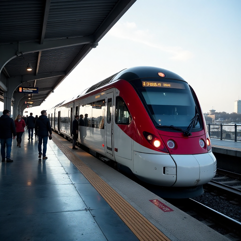
Most major international airports are now connected to the city by a dedicated airport rail link or express train. The Heathrow Express (London), Arlanda Express (Stockholm), Airport Express (Hong Kong), and Narita Express (Tokyo) all offer fast, fixed-price connections that bypass road traffic entirely. These express services cost more than standard transit fares but are still a fraction of taxi prices.
In many cities, the standard metro or suburban rail line also reaches the airport — at a much lower price. Frankfurt Airport, for example, is served by both the expensive Airport City Train and the regular S-Bahn commuter line, which takes only a few minutes longer and costs around a third of the price.
Airport bus services are the slowest option but often the cheapest, and they're useful when rail connections don't exist or are disrupted. Cities like Athens, Lisbon, and many in Latin America rely on dedicated airport bus routes as the primary public transit connection.
Before landing, confirm three things: which transit option connects to your specific terminal, whether your transit card works on that service (some airport express trains require separate tickets), and the last service time if you're arriving late.
Frequently Asked Questions
What is the cheapest way to use public transport in a major city?
The cheapest approach is usually a city transit card or contactless payment combined with a day-cap fare system. These automatically limit what you pay regardless of how many journeys you make. Avoid single paper tickets — they carry a premium in almost every city.
Do I need to validate my ticket before boarding?
It depends on the city. In many European cities — including Rome, Barcelona, and Vienna — you must stamp or validate your ticket at a machine before boarding buses and trams (metros often have barriers). Failing to validate is treated the same as traveling without a ticket. In cities with tap-in/tap-out barriers (London, Singapore, Hong Kong), validation happens automatically when you enter and exit.
Is public transport safe for solo travelers and tourists?
In the vast majority of major cities, public transit is safe for solo travelers including solo women. Standard precautions apply: keep bags in front of you on crowded trains, be aware of your surroundings late at night, and use well-lit, busy stations. Many cities have dedicated transit police and CCTV coverage throughout their networks.
Can I use one transit card across different cities or countries?
Generally, no — transit cards are city or region-specific. The Oyster card works only in London; the Navigo only in the Île-de-France region. The exception is contactless bank cards, which work on any network that accepts them, making them the most flexible option for multi-city trips.
How do I plan a multi-stop journey using public transport?
Google Maps or Citymapper handles multi-stop planning well. Enter your final destination and the app will show combined routes using multiple transit modes. For complex itineraries, it's worth checking whether a day pass covers all the legs — it often works out cheaper than paying per journey when you're making four or more trips in a day.